
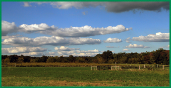


Signs of earlier land usage are evident along this walk. Old stone walls slice down the slopes toward the creek, and along the valley sides, suggesting earlier property boundaries and perhaps field clearances. Parts of the trail follow or cross an old woodland road, and at one point the trail, skirting an old wall, passes a line of ancient oaks. Origins of the earthen dam near the northern end of the trail are unclear; the presence of nearby Lake Drive to the east suggest that the housing there was developed when a lake still backed up behind the dam.
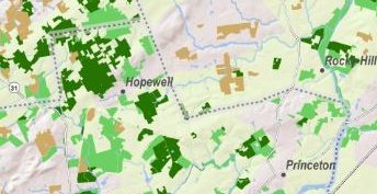
Dry Run Creek Trail meanders through an area of West Amwell Township, Hunterdon County that has been preserved by fee simple or by conservation easements. Hikers should stay on the marked trails and respect any private property signage along the way. Historic farms are located along Hunter Road and Woodens Lane that in some cases remain intact today. D&R Greenway Land Trust, a regional land trust whose mission is to preserve farmland and forests and carefully steward the land, spearheaded the trail design and construction. D&R Greenway is grateful to the many volunteers who worked on most weekends for almost two years to complete this trail.
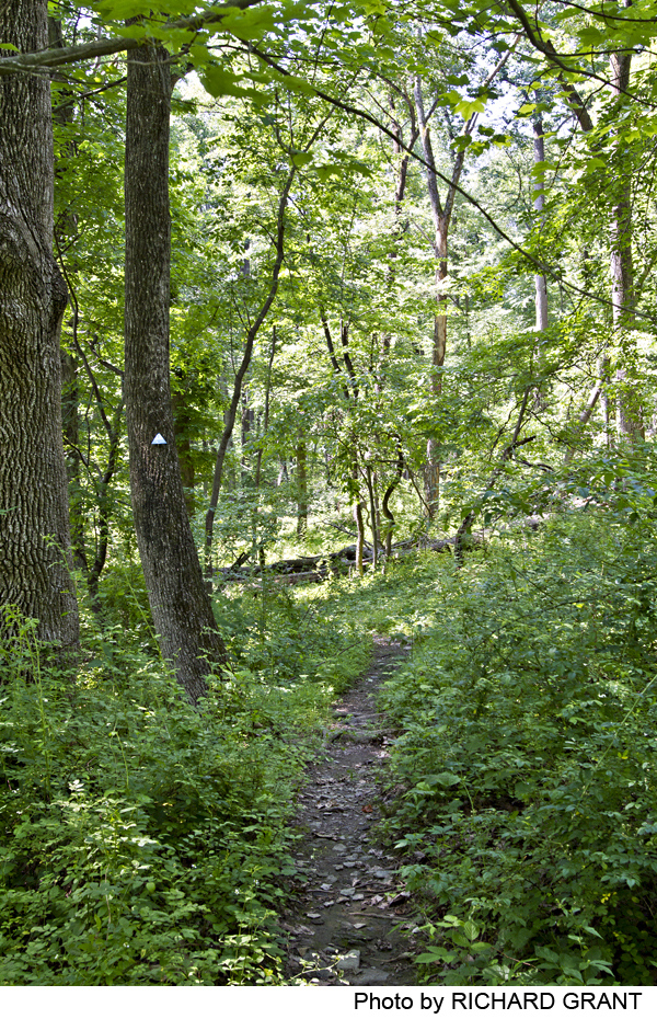
From the southern trailhead, the narrow footpath first descends to and crosses a small drainage that is usually dry, then curves through a cool, dense stand of cedars, crossing two small intermittent drainages on simple footbridges. The trail then climbs gradually north along the side of the Dry Run Creek valley, with striking views down to the stream, crossing another small ravine on rough stone steps, and contours up to a high point above an old stone wall. The trail then descends gradually, crossing still another small ravine on stone steps, and leads walkers across a wide gravel- and stone-strewn stream bed just above the point where it feeds into Dry Run Creek. Just north of this streambed there are lovely stone ledges in Dry Run Creek.
From this point the trail climbs along the west bank of the Creek, soon reaching the face of an old, breached earthen dam, which it climbs on cedar log steps. The path traces along the top of the dam to a footbridge made largely of red cedar cut and shaped on the site, crossing an old overflow channel from the old pond formed by the dam. It then climbs, sometimes on rustic stone steps, up the west side of the valley, reaching a small parking lot on Route 518.
